 FormaTerre
Geology
Type of resources
Available actions
Topics
INSPIRE themes
Keywords
Contact for the resource
Provided by
Years
Formats
Representation types
Update frequencies
status
Scale
-
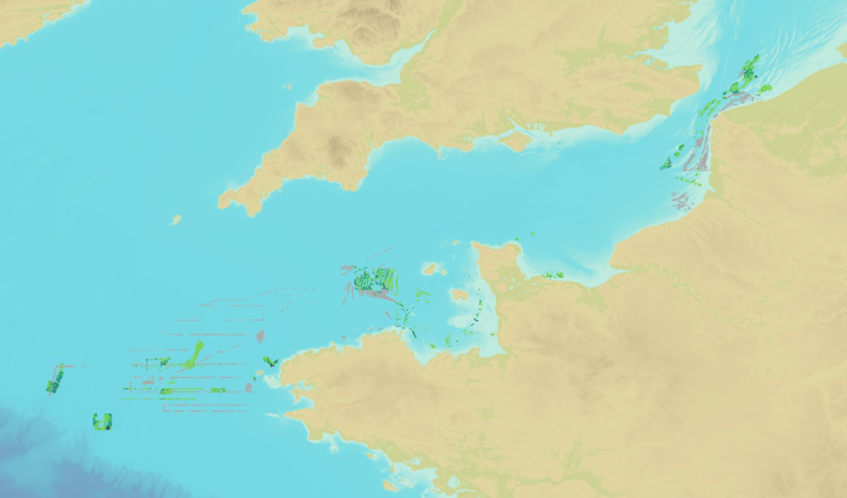
The product "Distribution of the submarine dunes of the French continental shelf" contains digital vector data provided as 2D linear objects representing the crest of submarine dunes digitized from bathymetric surveys conducted by the Shom. When several surveys have been carried out on the same area or dune, the product contains the information from all the surveys. However, the data displayed on data.shom.fr is limited to the information from the most recent survey.
-
The objective of the GeORG project (Geopotentials of the deep Upper Rhine Graben, https://www.geopotenziale.org/home/index_html) was to create a 3D model of the geological structure of the Upper Rhine Graben down to several kilometers depth. It provides a comprehensive information base (thickness/depth maps, temperature maps, and geological cross-sections that can be generated across the entire area). The BRGM distributes the French part of this 3D geological model via its Cupidon repository (https://data.geoscience.fr/metadataRecord/4a58a7e3-8b71-4c69-9447-cb1c791d23a3). We cut out this model around the Soultz-sous-Forêts site with a radius of approximately 10 km. Modeled lithological interfaces: 010_blg : Base of the Plio-Quaternary 040_bff : Base of the Froidefontaine Formation 050_bt :Base of the Tertiary 070_thr : Top of the Great Oolite 090_bju : Base of the Lias 100_bku : Base of the Keuper 110_tms : Top of the Saliferous Muschelkalk 120_bmu : Base of the Muschelkalk 130_btr : Base of the Triassic 170_kr :Top of the Hercynian 600_salt_diapirs : Salt diapirs faults_fr_s03: fault
-
The objective of the GeORG project (Geopotentials of the deep Upper Rhine Graben, https://www.geopotenziale.org/home/index_html) was to create a 3D model of the geological structure of the Upper Rhine Graben down to several kilometers depth. It provides a comprehensive information base (thickness/depth maps, temperature maps, and geological cross-sections that can be generated across the entire area). The BRGM distributes the French part of this 3D geological model via its Cupidon repository (https://data.geoscience.fr/metadataRecord/4a58a7e3-8b71-4c69-9447-cb1c791d23a3). We cut out this model around the Rittershoffen site with a radius of approximately 10 km. Modeled lithological interfaces: 010_blg : Base of the Plio-Quaternary 040_bff : Base of the Froidefontaine Formation 050_bt :Base of the Tertiary 090_bju : Base of the Lias 100_bku : Base of the Keuper 110_tms : Top of the Saliferous Muschelkalk 120_bmu : Base of the Muschelkalk 130_btr : Base of the Triassic 170_kr :Top of the Hercynian 600_salt_diapirs : Salt diapirs faults_fr_s03: fault
-
The objective of the GeORG project (Geopotentials of the deep Upper Rhine Graben, https://www.geopotenziale.org/home/index_html) was to create a 3D model of the geological structure of the Upper Rhine Graben down to several kilometers depth. It provides a comprehensive information base (thickness/depth maps, temperature maps, and geological cross-sections that can be generated across the entire area). The BRGM distributes the French part of this 3D geological model via its Cupidon repository (https://data.geoscience.fr/metadataRecord/4a58a7e3-8b71-4c69-9447-cb1c791d23a3). We cut out this model around the Soultz-sous-Forêts site with a radius of approximately 10 km. Modeled lithological interfaces: 010_blg : Base of the Plio-Quaternary 040_bff : Base of the Froidefontaine Formation 050_bt :Base of the Tertiary 090_bju : Base of the Lias 100_bku : Base of the Keuper 110_tms : Top of the Saliferous Muschelkalk 120_bmu : Base of the Muschelkalk 130_btr : Base of the Triassic 170_kr :Top of the Hercynian 600_salt_diapirs : Salt diapirs faults_fr_s03: fault