 FormaTerre
2 m
Type of resources
Topics
Provided by
Formats
Representation types
Update frequencies
status
Resolution
-
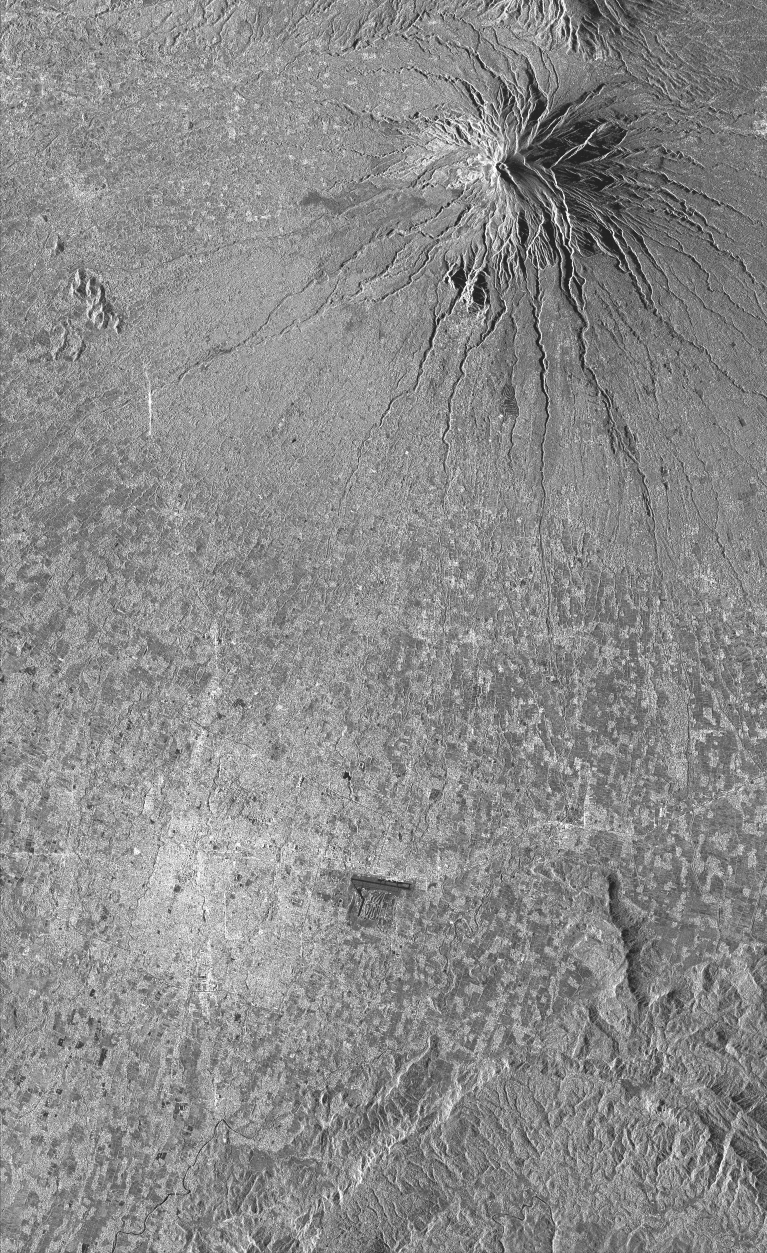
This collection includes radar images acquired by the sensor TerraSAR-X (monostatic) over Merapi volcano (Indonésie) in the framework of the projects DLR « Study of dome growth and summit topographic changes at andesitic strato-volcanoes» (OTHER6947) and « Tracking of dome growth at Merapi volcano, Indonesia » (XTIGEOL7375) . The data format is SSC (Single Look Slant Range Complex). The acquisition mode is stripMap (SM) for two ascending track A20 and A96 and one descending track D134.
-
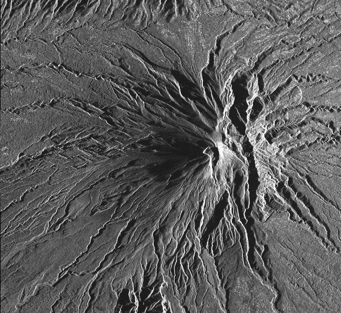
This collection includes radar images acquired by the sensor TerraSAR-X (monostatic) over Merapi volcano (Indonésie) in the framework of the project DLR (GEO1598) « Study of andesitic strato-volcanoes topographic changes and deformation through high-resolution SAR imagery ». The data format is SSC (Single Look Slant Range Complex). There are two acquisition modes: - mode StripMap (SM) for ascending track A20 and descending track D134. - mode SpotLight (SL) for ascending track A96 and descending track D58.
-
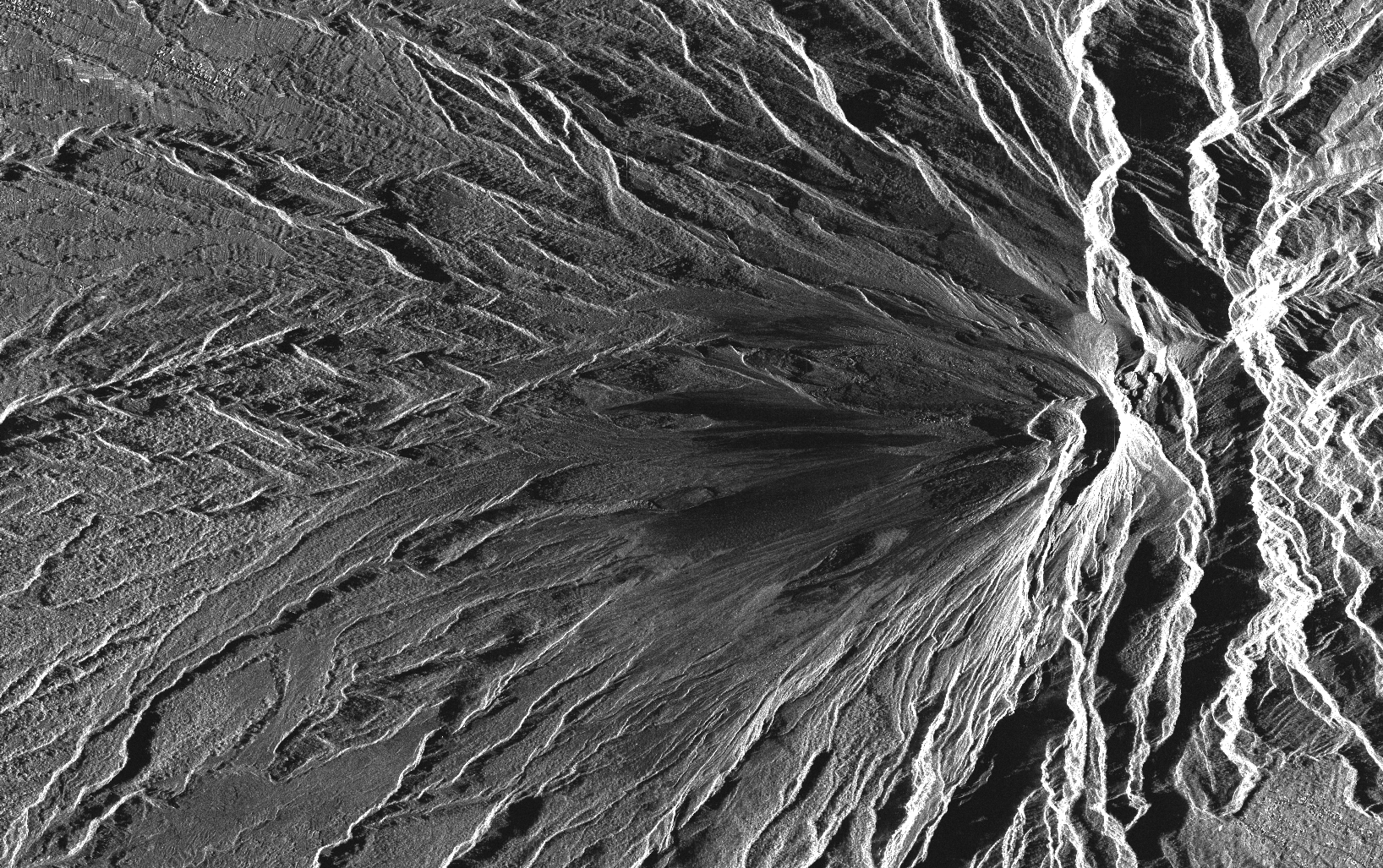
This collection includes radar images acquired by the sensor PAZ (monostatic) over Merapi volcano (Indonésie) in the framework of the project (AO-003-022) «Characterization of erupted volumes and ground deformation signals over Indonesian active volcanoes ». The data format is SSC (Single Look Slant Range Complex) with the acquisition mode High-resolution SpotLight (HS) for the descending tracks D020 and D111.
-
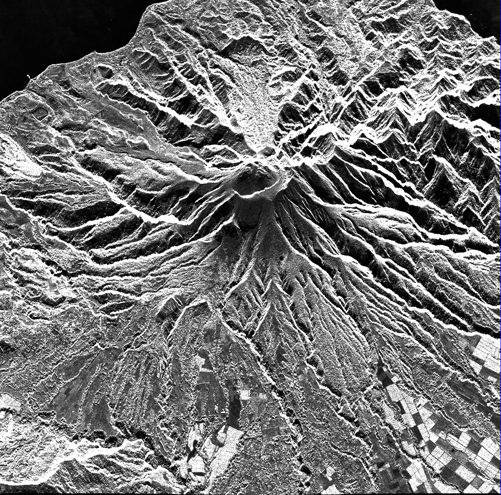
This collection includes radar images acquired by the TerraSAR-X / TanDEM-X constellation over Montagne Pelée (Martinique). Images are in SSC format (Single Look Slant Range Complex). Acquisition mode is either SPT (Spotlight) or SM (Stripmap). Tracks are either o104 (ascending track) or o020 (descending track).
-
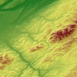
The collection consists of a series of products (DSM, hillshades, quality maps) of interest for the Earth and environmental science community. It covers various sites and landscapes over the World. The dataset is an open collection with regular updates according to the availability of Pléiades stereo-imagery for science and/or public organizations and the generation of topographic products with the <a href="https://www.poleterresolide.fr/le- service-dsm-opt/" target="_blank">DSM-OPT on-demand service</a> . The collection is disseminated using FAIR principles under the Digital Object Identifier (DOI): doi:10.25577/0JGV-V947