 FormaTerre
Tarim
Type of resources
Topics
Keywords
Contact for the resource
Provided by
Formats
Representation types
Update frequencies
status
-
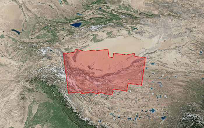
This project focuses on the analysis of tectonic deformations along the Western Kunlun Range, on the northwestern edge of the Tibetan Plateau. This region is marked by the interaction between large strike-slip and thrust faults, with in particular the existence of one of the largest thrust sheet in the world, whose interseismic loading and the capacity to produce “mega-earthquakes” will be investigated. Three types of products are made available for each orbit portion processed (see <a href="https://formater.pages.in2p3.fr/flatsim/" target="_blank"> detailed description </a> ) - "INTERFEROGRAM": this brings together the differential interferograms, wound and unwound, in radar or terrain geometry, filtered or not, at different resolutions, as well as the atmospheric correction maps used and spatial coherence for each interferogram. - "TIMESERIES": this includes maps of movement in time series and average speed, according to the satellite line of sight (LOS), and quality indices of time series processing. - "AUXILIARYDATA": this directory contains maps indicating the LOS vector, the DTM in radar geometry, at different resolutions, the radar-field geometry transcoding tables, and temporal coherence, as well as a set of figures and parameter files specific to the processing of the time series.