TerraSAR-X image collection on Montagne Pelée (Martinique)
This collection includes radar images acquired by the TerraSAR-X / TanDEM-X constellation over Montagne Pelée (Martinique).
Images are in SSC format (Single Look Slant Range Complex).
Acquisition mode is either SPT (Spotlight) or SM (Stripmap).
Tracks are either o104 (ascending track) or o020 (descending track).
Simple
- Date (Revision)
- 2022-07-13
- Citation identifier
-
isdeform:martinique:terrasarx
- Status
- On going
Principal investigator
Université Grenoble Alpes
Université Grenoble Alpes
Université Grenoble Alpes
-
- Maintenance and update frequency
- As needed
- Theme
-
-
Ground deformation
-
Radar image
-
Radiometry
-
- location
-
-
La Martinique
-
- Spatial representation type
- Grid
- Distance
- 2 m
- Language
-
eng
- Character set
- UTF8
- Topic category
-
- Geoscientific information
N
S
E
W
))
N
S
E
W
))
- Begin date
- 2019-01-01
- Reference system identifier
- WGS 1984
- Reference system identifier
- ITRF
- Distribution format
-
-
tif
(
)
-
tif
(
)
- Hierarchy level
- Series
Extent
No information provided.
- File identifier
- d8ecaa88-bd88-42cf-be73-142e0f55e467 XML
- Metadata language
- Français
- Character set
- UTF8
- Hierarchy level
- Series
- Date stamp
- 2024-05-03T16:13:03
- Metadata standard name
-
ISO 19115:2003/19139
- Metadata standard version
-
1.0
Overviews
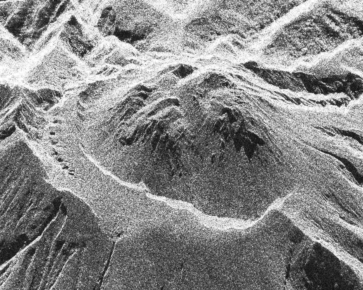
Dome of Montagne Pelée volcano - TerraSAR-X Spotlight image
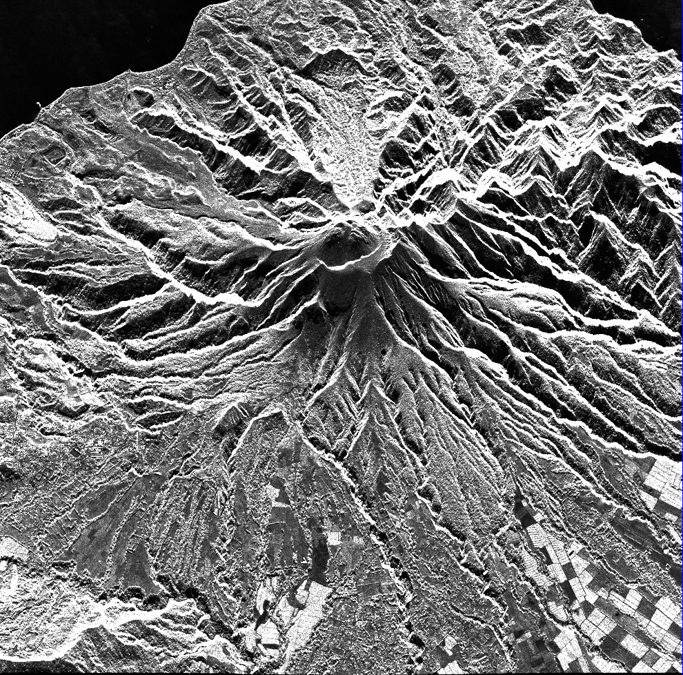
North of Martinique Island - TerraSAR-X Spotlight image
Spatial extent
N
S
E
W
N
S
E
W
Provided by

Associated resources
Not available