PAZ image collection on Merapi
This collection includes radar images acquired by the sensor PAZ (monostatic) over Merapi volcano (Indonésie) in the framework of the project (AO-003-022) «Characterization of erupted volumes and ground deformation signals over Indonesian active volcanoes ». The data format is SSC (Single Look Slant Range Complex) with the acquisition mode High-resolution SpotLight (HS) for the descending tracks D020 and D111.
Simple
- Date (Revision)
- 2023-12-06
- Citation identifier
-
isdeform:merapi:paz
- Status
- Under development
- Maintenance and update frequency
- As needed
- Keywords
-
-
Ground deformation
-
Radar image
-
Radiometry
-
PAZ
-
- Spatial representation type
- Grid
- Distance
- 2 m
- Language
-
eng
- Character set
- UTF8
- Topic category
-
- Geoscientific information
N
S
E
W
))
- Begin date
- 2022-03-01
- Reference system identifier
- WGS 1984
- Reference system identifier
- ITRF
- Distribution format
-
-
tif
(
)
-
tif
(
)
- Hierarchy level
- Series
Extent
No information provided.
- File identifier
- 8bd43403-61f5-4888-9dfa-aa6b0f55a36f XML
- Metadata language
- Français
- Character set
- UTF8
- Hierarchy level
- Series
- Date stamp
- 2024-05-03T16:13:55
- Metadata standard name
-
ISO 19115:2003/19139
- Metadata standard version
-
1.0
Overviews
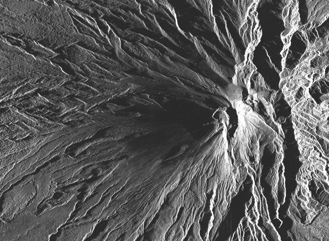
Track footprint of radar scene over Merapi (D92)
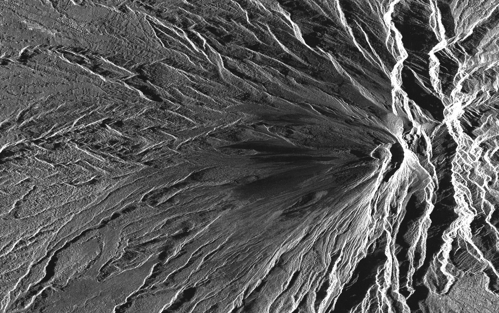
Track footprint of radar scene over Merapi (D46)
Spatial extent
N
S
E
W
Provided by

Associated resources
Not available