Piton de la Fournaise Scenes Base OI2
BD content description
Simple
- Date (Revision)
- 2021-04-15
- Citation identifier
-
OPGC_OI2_REU_SCENE
- Status
- On going
- Maintenance and update frequency
- As needed
- location
-
-
Réunion
-
- Access constraints
- Restricted
- Use constraints
- Other restrictions
- Other constraints
-
How to cite:
- Other constraints
-
The products is only accessible to users registered and authenticated with OPGC via a BASIC account.
- Spatial representation type
- Grid
- Distance
- 320 m
- Language
-
eng
- Character set
- UTF8
- Topic category
-
- Geoscientific information
N
S
E
W
))
- Begin date
- 2003-04-01
- Reference system identifier
- WGS 1984
- Distribution format
-
-
GEOTIFF
(
)
-
CSV
(
)
-
GEOTIFF
(
)
- OnLine resource
- API opensearch Flatsim ( OpenSearch )
- Hierarchy level
- Series
Extent
No information provided.
- Statement
-
These collections of interferograms
- File identifier
- 6b43efe6-34a9-4e12-b24b-8cc8351a699c XML
- Metadata language
- Français
- Character set
- UTF8
- Hierarchy level
- Series
- Date stamp
- 2024-05-03T16:12:38
- Metadata standard name
-
ISO 19115:2003/19139
- Metadata standard version
-
1.0
Overviews
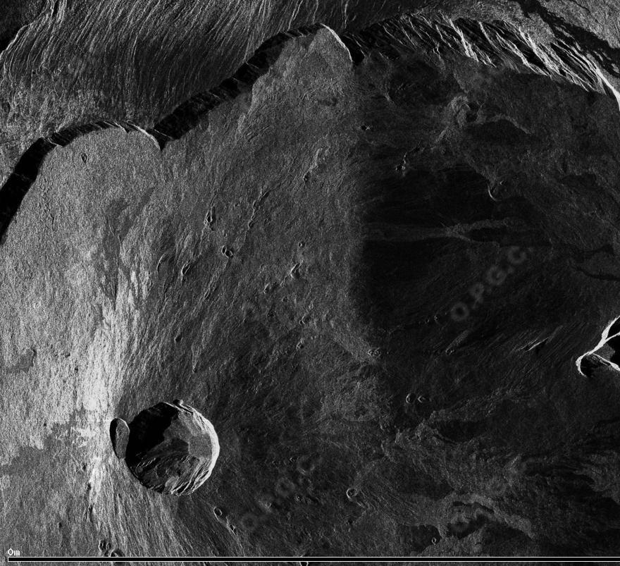
Reunion scene
Spatial extent
N
S
E
W
Provided by

Associated resources
Not available