Collection images TanDEM-X sur le Merapi
TanDEM-X image collection on Merapi
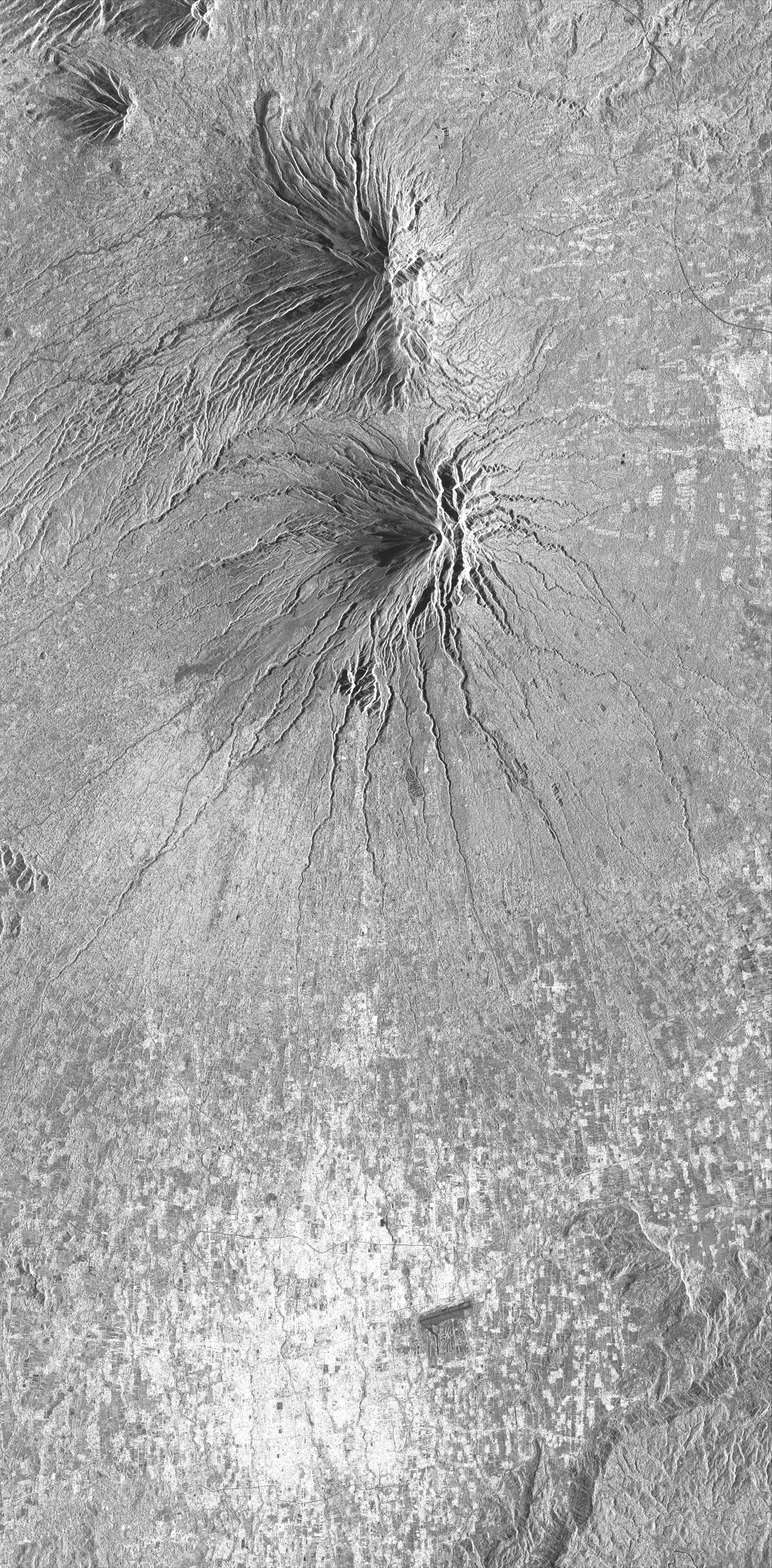
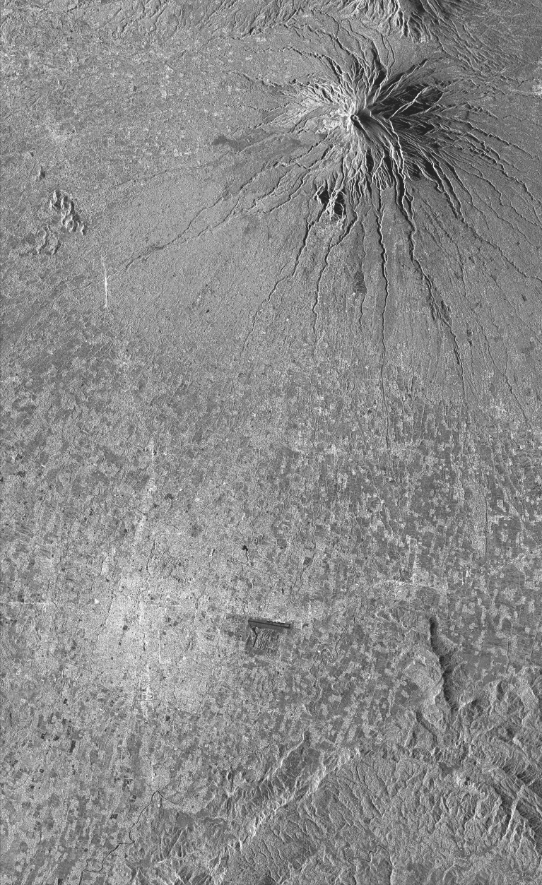
Cette collection comprend l'ensemble des images radar TanDEM-X (bistatic) acquises sur le volcan Merapi (Indonésie) dans le cadre des AO DLR « Study of dome growth and summit topographic changes at andesitic strato-volcanoes» (OTHER6947) « Tracking of dome growth at Merapi volcano, Indonesia » (XTIGEOL7375) . Les données sont au format SSC (Single Look Slant Range Complex). Le mode d'acquisition est StripMap (SM) pour deux tracks ascendantes A20 et A96 et une track descendante D134.
This collection includes radar images acquired by the sensor TerraSAR-X (monostatic) over Merapi volcano (Indonésie) in the framework of the projects DLR « Study of dome growth and summit topographic changes at andesitic strato-volcanoes» (OTHER6947) and « Tracking of dome growth at Merapi volcano, Indonesia » (XTIGEOL7375) . The data format is SSC (Single Look Slant Range Complex). The acquisition mode is stripMap (SM) for two ascending track A20 and A96 and one descending track D134.
Simple
-
Date (Revision)Date (Révision)
- 2023-12-06
-
Citation identifierIdentificateur
-
isdeform:merapi:tandem-x
-
StatusEtat
-
Under developmentEn cours de création
-
Maintenance and update frequencyFréquence de mise à jour
-
As neededLorsque nécessaire
- Keywords
-
-
Déformation du sol
Ground deformation
-
Image radar
Radar image
-
Radiométrie
Radiometry
-
-
Spatial representation typeType de représentation spatiale
-
GridRaster
-
DistanceDistance de résolution
- 2 m
- Language
-
eng
-
Character setEncodage des caractères
-
UTF8Utf8
-
Topic categoryCatégorie ISO
-
-
Geoscientific informationSciences de la terre, géosciences
-
))
- Begin date
- 2011-07-06
-
Reference system identifierNom du système de référence
- WGS 1984WGS 1984
-
Reference system identifierNom du système de référence
- ITRF
-
Distribution formatFormat (encodage)
-
-
tiftif
(
)
-
tiftif
(
)
-
Hierarchy levelNiveau
-
SeriesCollection de données
Extent
Etendue
-
File identifierIdentifiant de la fiche
- 5ed6647f-de73-440b-a360-9a98907bab3d XML
-
Metadata languageLangue
- Français
-
Character setJeu de caractères
-
UTF8Utf8
-
Hierarchy levelType de ressource
-
SeriesCollection de données
-
Date stampDate des métadonnées
- 2024-05-03T16:11:00
- Metadata standard name
-
ISO 19115:2003/19139
- Metadata standard version
-
1.0
Overviews
Spatial extent
Provided by
