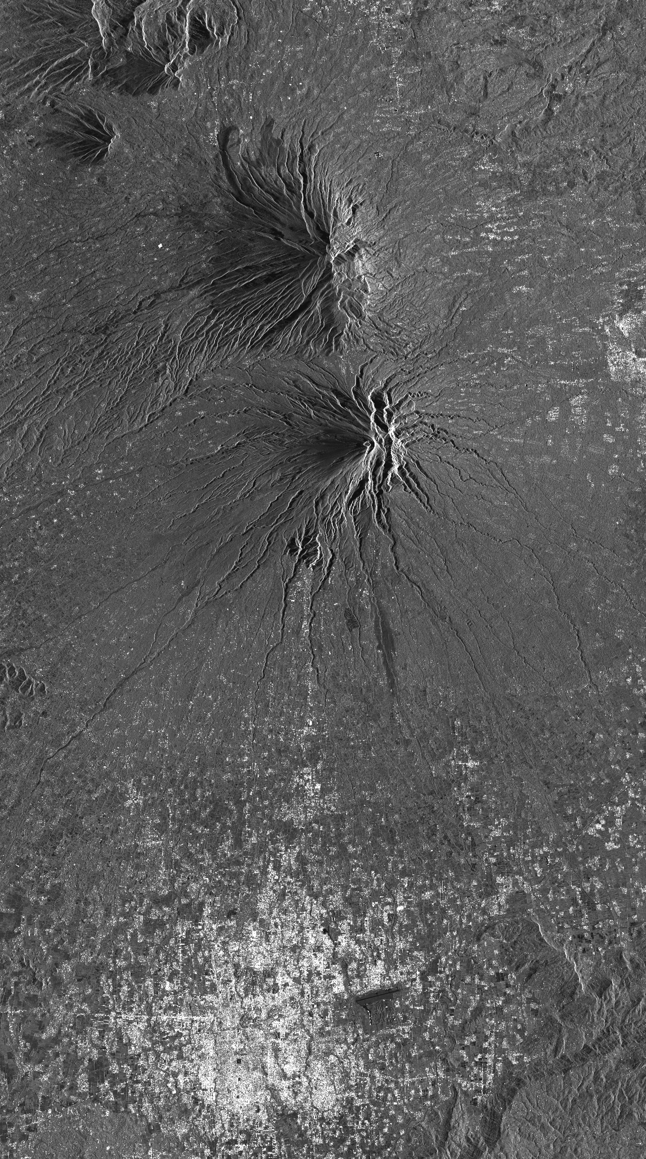
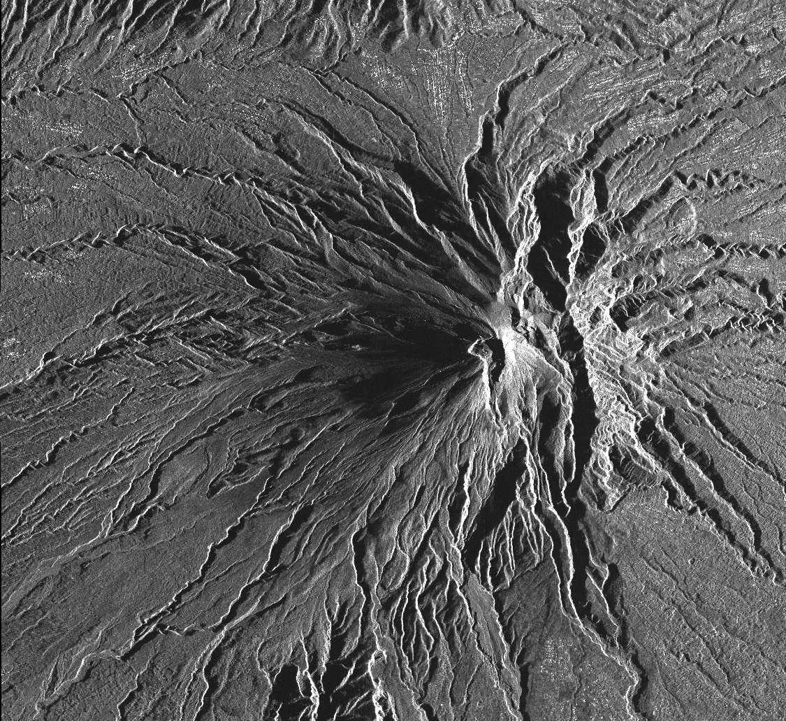
TerraSAR-X image collection on Merapi
This collection includes radar images acquired by the sensor TerraSAR-X (monostatic) over Merapi volcano (Indonésie) in the framework of the project DLR (GEO1598) « Study of andesitic strato-volcanoes topographic changes and deformation through high-resolution SAR imagery ». The data format is SSC (Single Look Slant Range Complex).
There are two acquisition modes:
- mode StripMap (SM) for ascending track A20 and descending track D134.
- mode SpotLight (SL) for ascending track A96 and descending track D58.
Simple
- Date (Revision)
- 2023-12-06
- Citation identifier
-
isdeform:merapi:terrasar-x
- Status
- Under development
- Maintenance and update frequency
- As needed
- Theme
-
-
Ground deformation
-
Radar image
-
Radiometry
-
- Spatial representation type
- Grid
- Distance
- 2 m
- Language
-
eng
- Character set
- UTF8
- Topic category
-
- Geoscientific information
N
S
E
W
))
- Begin date
- 2010-10-30
- Reference system identifier
- WGS 1984
- Reference system identifier
- ITRF
- Distribution format
-
-
tif
(
)
-
tif
(
)
- Hierarchy level
- Series
Extent
No information provided.
- File identifier
- 13437a69-e7e9-411a-92ef-ac5f2d5091ad XML
- Metadata language
- Français
- Character set
- UTF8
- Hierarchy level
- Series
- Date stamp
- 2024-05-03T16:11:23
- Metadata standard name
-
ISO 19115:2003/19139
- Metadata standard version
-
1.0
Overviews
Track footprint of radar scene over Merapi (D134)
Track footprint of radar scene over Merapi (D58)
Spatial extent
N
S
E
W
Provided by

Associated resources
Not available