GDM-SAR-In Ridgcrest Collection of interferograms and time serie 2019-05-17 to 2019-08-16
Three types of products are made available for each orbit portion processed (see <a href=" https://formater.pages.in2p3.fr/flatsim/" target="_blank"> detailed description </a> )
- « INTERFEROGRAM » : This brings together the differential interferograms, wound and unwound, in radar or terrain geometry, filtered or not, at different resolutions, as well as the atmospheric correction maps used and spatial coherence.
- « TIMESERIES » : Maps of movement in time series and average speed, according to the satellite line of sight (LOS), and quality indices of time series processing.
- « AUXILIARYDATA » : Maps indicating the LOS vector, the DTM in radar geometry, at different resolutions, the radar-field geometry transcoding tables, and temporal coherence, as well as a set of figures and parameter files specific to the processing of the time series.
Simple
- Date (Revision)
- 2024-04-16
- Citation identifier
- https://formater.osug.fr/permanent-products-repository/public/ebded694-da09-11ee-af92-0242c0a87004/
- Status
- Completed
- Point of contact
-
Organisation name Individual name Electronic mail address Role UGA Distributor FormaTerre
Point of contact
- Maintenance and update frequency
- As needed
- Polarisation
-
-
VV
-
- Place
-
-
Ridgcrest
-
- Access constraints
- Restricted
- Use constraints
- Other restrictions
- Use constraints
- License
- Other constraints
- CC-BY-NC
- Spatial representation type
- Grid
- Distance
- 60 m
- Language
-
eng
- Character set
- UTF8
- Topic category
-
- Geoscientific information
))
- Begin date
- 2019-05-17
- End date
- 2019-08-16
- Reference system identifier
- WGS 1984
- Distribution format
-
Name Version TIFF
- Distributor contact
-
Organisation name Individual name Electronic mail address Role UGA
- OnLine resource
-
Protocol Linkage Name WWW:LINK-1.0-http--link
https://formater.pages.in2p3.fr/flatsim Product documentation
WWW:LINK-1.0-http--link
https://formater.osug.fr/permanent-products-repository/public/ebded694-da09-11ee-af92-0242c0a87004/ Result folder
- Hierarchy level
- Series
Extent
- Statement
-
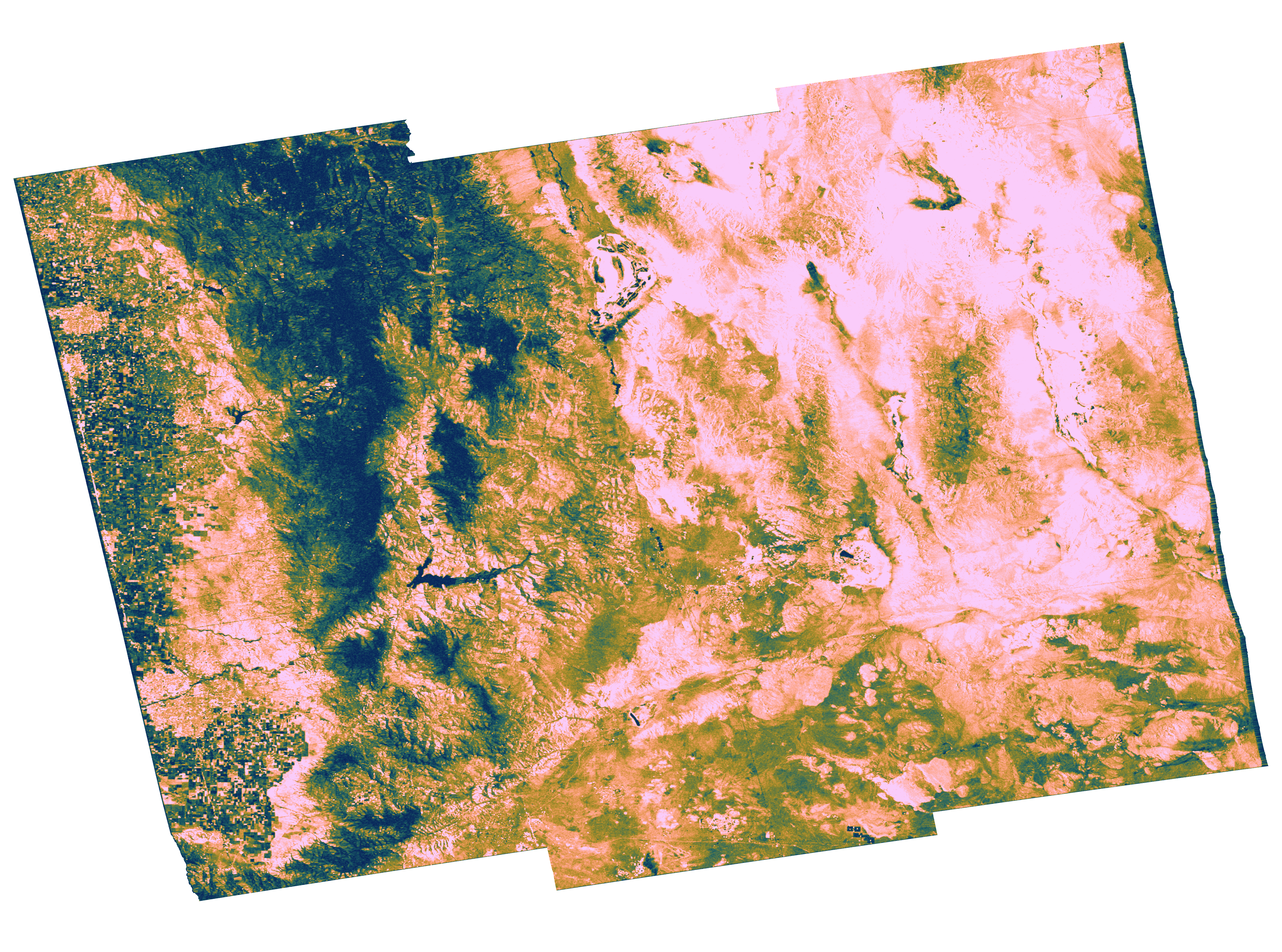
These collections of interferograms and displacement time series are produced by CNES as part of the GDM-SAR-In service. This service is developed in collaboration with the ForM @ Ter Data and Services pole and the ISTerre, LGL-TPE and IPGP laboratories. The radar images used come from the TOPSAR Sentinel-1 archive (Copernicus data). The calculations are made from the NSBAS interferometric processing chain
Metadata
- File identifier
- ebded694-da09-11ee-af92-0242c0a87004 XML
- Metadata language
- Français
- Character set
- UTF8
- Hierarchy level
- Series
- Date stamp
- 2024-12-18T12:37:10
- Metadata standard name
-
ISO 19115:2003/19139
- Metadata standard version
-
1.0
- Metadata author
-
Organisation name Individual name Electronic mail address Role FormaTerre
Point of contact
- Other language
-
Language Character encoding English UTF8 French UTF8
Overviews
Spatial extent
Provided by
